Above Quote by Sarah Parcak
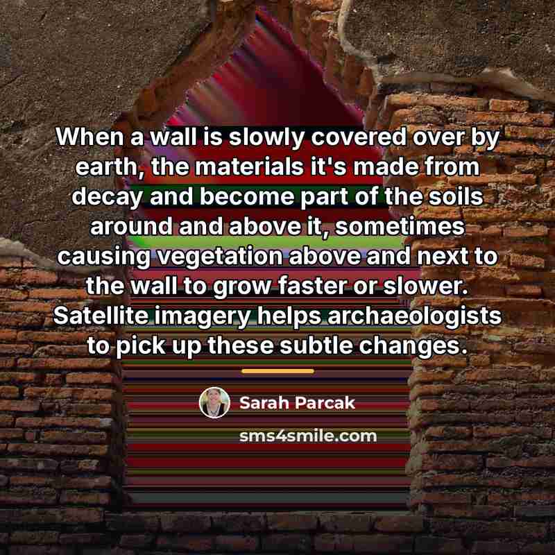
“When a wall is slowly covered over by earth, the materials it's made from decay and become part of the soils around and above it, sometimes causing vegetation above and next to the wall to grow faster or slower. Satellite imagery helps archaeologists to pick up these subtle changes.”
About This Quote
Source Article: Archaeology and Satellite Imaging, 2015
Erosion reveals hidden structures, and satellite images let archaeologists detect subtle environmental changes indicating buried walls.
In simple terms: Erosion shows hidden walls; satellites help find them.
Key Takeaway
Use satellite data to monitor archaeological sites.
Themes
archaeology
technology
environment
discovery
satellite imaging
Mood
analytical
curious
Type
scientific
practical
When to use this quote
- site monitoring
- heritage management
- environmental assessment
Key Concepts
remote sensing
geomorphology
heritage preservation
Questions to Reflect On
- What limitations do remote sensing tools have?
- How can ground truthing complement satellite data?
A Different Perspective
Satellites cannot see everything underground.