We've got to map all of our ancient history before it's gone because, let's face it, if we don't have a common… — Sarah Parcak Copy Share Image
The only technology that can 'see' beneath the ground is radar imagery. But satellite imagery also allows scientists to map short- and… — Sarah Parcak Copy Share Image
Scientists use satellites to track weather, map ice sheet melting, detect diseases, show ecosystem change... the list goes on and on. I… — Sarah Parcak Copy Share Image
I predict that there are hundreds of thousands, if not millions, of undiscovered ancient sites across the globe. The only way to… — Sarah Parcak Copy Share Image
'Satellite archaeology' refers to the use of NASA and commercial high resolution satellite datasets to map and discover past structures, cities, and… — Sarah Parcak Copy Share Image
Archaeologists have used aerial photographs to map archaeological sites since the 1920s, while the use of infrared photography started in the 1960s,… — Sarah Parcak Copy Share Image
We're using satellites to help map and model cultural features that could never be seen on the ground because they're obscured by… — Sarah Parcak Copy Share Image
If you look at the Nile on a map of Egypt, you don't think it has moved very much, but the river… — Sarah Parcak Copy Share Image
Less than 1 percent of ancient Egypt has been discovered and excavated. With population pressures, urbanization, and modernization encroaching, we're in a… — Sarah Parcak Copy Share Image
If you really want to be a good archaeologist, you have to understand ancient DNA; you have to understand chemical analysis to figure out… — Sarah Parcak Copy Share Image
We've got to map all of our ancient history before it's gone because, let's face it, if we don't have a common heritage to… — Sarah Parcak Copy Share Image
When you think about the scale of human populations all over the world and the fact that there's so much here, really, the only… — Sarah Parcak Copy Share Image
The only technology that can 'see' beneath the ground is radar imagery. But satellite imagery also allows scientists to map short- and long-term changes… — Sarah Parcak Copy Share Image
You just pull back for hundreds of miles using the satellite imagery, and all of a sudden this invisible world become visible. You're actually… — Sarah Parcak Copy Share Image
I give my grandfather, Dr Harold Young, a forestry Professor at the University of Maine, full credit for my career path. He pioneered the… — Sarah Parcak Copy Share Image
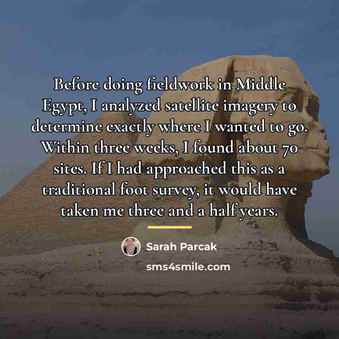
Before doing fieldwork in Middle Egypt, I analyzed satellite imagery to determine exactly where I wanted to go. Within three weeks, I found about… — Sarah Parcak Copy Share Image
'Satellite archaeology' refers to the use of NASA and commercial high resolution satellite datasets to map and discover past structures, cities, and geological features. — Sarah Parcak Copy Share Image
It's absolutely critical, you know, to train young men and women not just to find sites, but also to protect sites, especially in the… — Sarah Parcak Copy Share Image
Scientists use satellites to track weather, map ice sheet melting, detect diseases, show ecosystem change... the list goes on and on. I think nearly… — Sarah Parcak Copy Share Image
Archaeologists have used aerial photographs to map archaeological sites since the 1920s, while the use of infrared photography started in the 1960s, and satellite… — Sarah Parcak Copy Share Image
What satellites help to show us is we've actually only found a fraction of a percent of ancient settlements and sites all over the… — Sarah Parcak Copy Share Image