Because Quote by Sarah Parcak
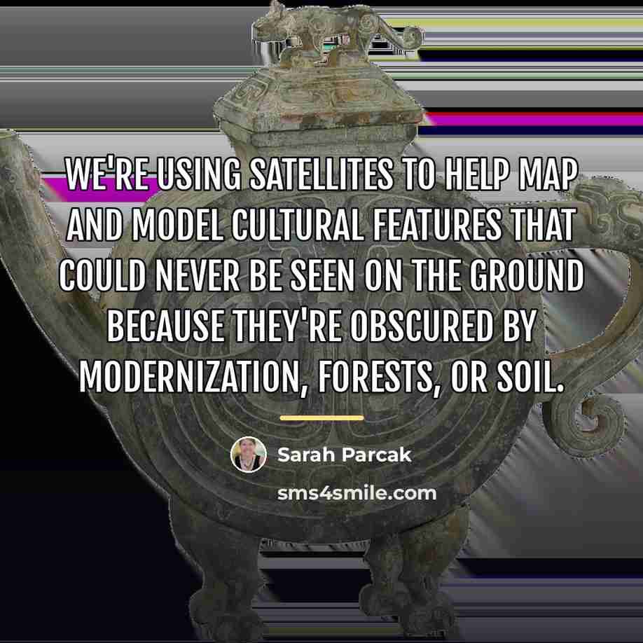
“We're using satellites to help map and model cultural features that could never be seen on the ground because they're obscured by modernization, forests, or soil.”
About This Quote
Source Interview: Satellite Archaeology, Smithsonian Magazine, 2018
Satellite imagery reveals cultural sites hidden by modern development, forests, or soil, enabling preservation and study that ground surveys miss.
In simple terms: Satellites uncover hidden cultural sites.
Key Takeaway
Use remote sensing to protect heritage.
Themes
archaeology
technology
preservation
Mood
curious
inspired
Type
informative
analytical
When to use this quote
- heritage management
- urban planning
- environmental monitoring
- academic research
Key Concepts
remote sensing
cultural heritage
Questions to Reflect On
- How can we integrate local knowledge with satellite data?
- What ethical concerns arise from mapping sacred sites?
A Different Perspective
Satellites cannot capture intangible cultural practices.